About ESurvey Sections
ESurvey Sections' ? CS, LS and Road Design Software with Quantity Calculation. Create CS from Excel, Field book, Total Station Data. Design Roads with Ease. Area and Volume Calculation can be done in End Area, Simpsons...
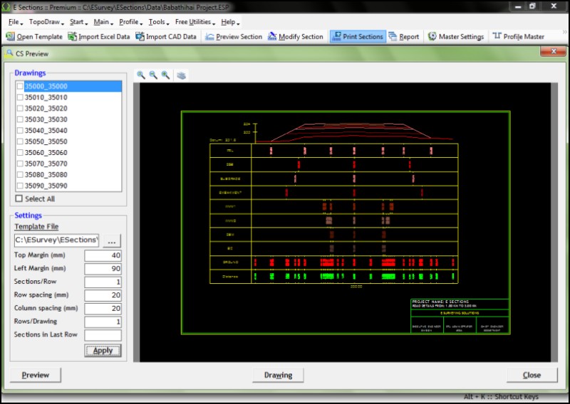
"ESurvey Sections" is a complete Section Creation and Management Solution designed to help engineers, surveyors and designers to create industry standard drawings and to generate instant calculation reports related to Road / Railway lines / Irrigation / Pipeline design / Water Network Project.It is a complete software solution for generating sections, converting point data into drawings and interpolating available data to generate drawings. Importing Data: Import data from Excel for Generating Cross Section and Longitudinal Section Drawings Import Alignment data from CAD Import data from Field Book Extensive Section Settings: Change properties like Colour / Height / etc. for all the elements of a section Print Graph and Projection Lines Print Header / Footer with Scales View Sections in different Horizontal / Vertical Scale Font properties for section elements Profiles: Design Complicated profiles and shapes for various requirement like irrigation, roads, railway etc Edit Profiles for specific Sections Inserts CAD blocks at given point of profile Create Multiple Profiles Area/Volume Calculations: Generate Area / Volume Report in Excel and CAD using either of Three methods Trapezoidal (End Area), Simpsons 1/3rd Rule or Nett Area Method For area calculation use advanced techniques such as extend / extrapolate or join ends Optionally print area calculation below the cross sections Print area between multiple layer in Table Format Printing Sections: Plot sections on your own drawing templates and export to CAD package Alternatively print the ESurvey Sections from within the package Exporting Section: Export Section data to Excel Export Section data back to CAD along an alignment Export Multiple Cross Sections as different Drawings Export toe points to excel to verify from total station Curve Design: Design Horizontal Curve Design Vertical Curve Super Elevation Road Widening Curve with optional Transition Lines
Previous Versions
Here you can find the changelog of ESurvey Sections since it was posted on our website on 2013-12-24 01:17:04.
The latest version is 10.20 and it was updated on 2024-04-22 19:40:23. See below the changes in each version.
ESurvey Sections version 10.20
Updated At: 2013-12-15
Changes: Now, ESurvey Sections works with open office. Select Microsoft Excel or Open office and set it as the Default Spread sheet. wrote All the bugs reported till 14-12-2013 fixed.
ESurvey Sections version 10.01
Updated At: 2013-02-24
Changes: Now, ESurvey Sections works with open office. Select Microsoft Excel or Open office and set it as the Default Spread sheet
Disclaimer
External Download
We do not host ESurvey Sections on our servers. We did not scan it for viruses, adware, spyware or other type of malware. This app is hosted by the software publisher and passed their terms and conditions to be listed there. We recommend caution when installing it.
The external download link for ESurvey Sections is provided to you by apps112.com without any warranties, representations or guarantees of any kind, so access it at your own risk.
If you have questions regarding this particular app contact the publisher directly. For questions about the functionalities of apps112.com contact us.